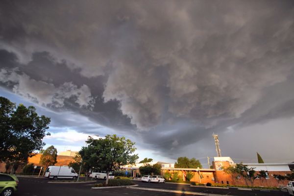
WEEKEND storms appear more likely to hit the Granite Belt than Warwick, which is good news for the Warwick Rodeo. Here’s Free Times weather commentator Terry West’s latest predictions for the weekend…
The high has moved into the southern Coral Sea and now extends a ridge throughout Queensland.
The surface trough over inland Queensland will sit stagnant today as the weak upper trough extends over southern parts of the state. They will remain stagnant over the next day or two and have the potential to develop storms and rain across the Darling Downs.
A new surface trough will enter the south-west of the state on Sunday and move east during Monday and Tuesday, generating more rain.
Friday 28 October
Today will remain partly cloudy for most of the day. There is a good chance of showers and storms developing over the Granite Belt and Southern Downs this afternoon. If storms do develop they may turn severe with high winds and hail.
The chance of a severe thunderstorm is more likely over the Granite Belt. Winds should be light to moderate from north to north-easterly tending east at times late this afternoon. Today should see a maximum of around 28 degrees.
Saturday 29 October
It is likely that Saturday will be similar to Friday with a partly cloudy day and a chance of showers and storms, mostly on the Granite Belt. A thunderstorm may develop during the morning but more likely in the mid-afternoon with the potential of high winds and hail. Winds may gust from the north-east during the morning before easing toward evening. Temperatures should range from a low of 13 degrees to a high of 26 degrees.
Sunday
It should be a mostly sunny day with only a slight chance of a shower or storm near the border regions. Winds should tend north-easterly for most of Sunday and temperatures should range from a low of 11 degrees to a high during the day of 28 degrees.


