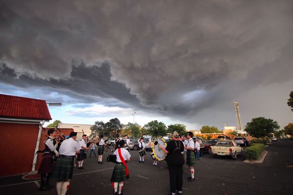
STORM season is about to arrive on the Southern Downs and Granite Belt in a big way, but the good news for the Warwick Rodeo is the worst of it should be over by Saturday.
Residents should brace for possible severe thunderstorms today, Thursday, and on Friday, with the chance of hail and frequent lightning.
Free Times weather commentator Terry West says today, Thursday, will see “the first real set-up” for severe thunderstorms.
“There is a chance of these storms becoming dangerous as the surface and upper troughs meet with a cold front moving along the coast,” Terry said on Thursday morning.
“It depends where these systems meet as to where the severe storms will develop and at this stage models are showing anywhere over the Southern Downs and east to Brisbane.
“Friday is more likely to be severe than today”.
Here’s Westy’s Weather outlook …
Thursday
The trough that entered the state should lie just to the west of the Darling Downs and into NSW by Thursday morning. Warm, northerly air will be pushed ahead of the trough leading to a hot day with cloud developing throughout the day leading to some rain in the afternoon.
Storms may develop from mid-afternoon and some may be severe, containing high winds and a chance of hail as well as frequent lightning.
Winds should be from the north-east for most of the day but may gust from the south-west occasionally.
Temperatures – 11c to 28c
Friday
The trough should be sitting on the Darling Downs by Friday morning with a surface low spinning up in north-west NSW. This will draw warm, moist air into the region leading to the potential of severe thunder storms from mid-afternoon, once again.
It will be a warm day with little cloud and this will add to the instability needed for thunderstorms.
Friday morning should be mostly fine with only some light cloud leading to a mostly sunny day.
Storms may develop from the south-west by mid-afternoon with the chance of high winds, some heavy rain and hail along with frequent lightning.
Winds should mostly be from the north-east but may swing east at times.
Temperatures – 11c to 28c
Saturday
The surface low should remain stagnant over northern NSW leading to warm north-easterly winds being drawn in once again. The temperature should be a bit lower than the previous days as a cooler pool moves
over our region.
Storms and rain may once again occur but most severe storms should have contracted to NSW by Saturday.
Winds should be from the north-east for most of the day
Temperatures – 12c to 25c
Updates to follow.


